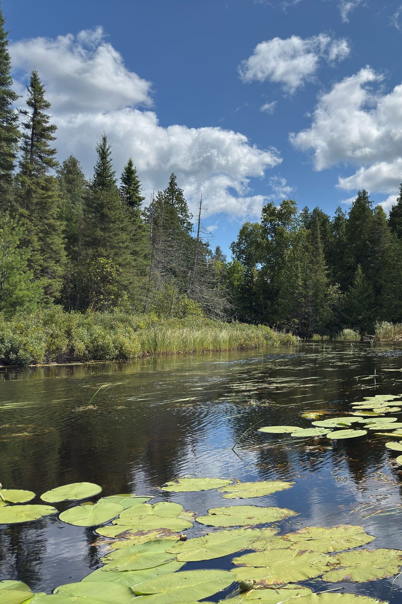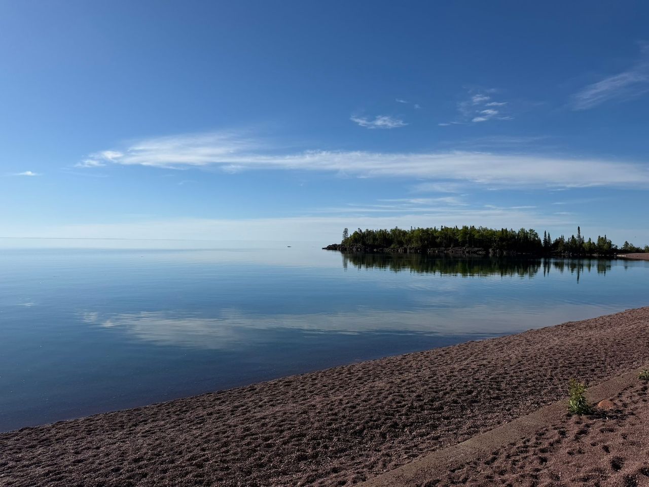
The Boundary Waters Canoe Area Wilderness (BWCAW) covers more than a million acres of the Superior National Forest and stretches nearly 150 miles along the Canadian border. You can enter it only at numbered entry points, and every group needs a permit for one entry point and one entry date. Twenty-nine of those entry points belong to the Gunflint Ranger District in Grand Marais.
Which permit you need
A permit is required all year. Which kind depends on the date and how you travel.
| Trip | May 1 to September 30 | October 1 to April 30 |
|---|---|---|
| Overnight: paddle, motor or hiking | Quota permit, reserved | Self-issued permit, free |
| Day trip with a motor | Quota permit, reserved | Self-issued permit, free |
| Day trip by paddle or on foot | Self-issued permit, free | Self-issued permit, free |
A quota permit is one of a fixed number issued for each entry point each day. Motor permits also count against a weekly motor quota. All of them are released at 9:00 a.m. Central on the last Wednesday in January (January 28 in 2026), first come, first served, at Recreation.gov or 877-444-6777. If quota is left over, you can get a walk-up permit from an issuing station the day before or the day of entry.
A self-issued permit has no quota and no fee. Fill out the form at the entry point kiosk or at a Forest Service office, carry your copy for the whole trip and leave the duplicate in the box at the entry point.
Fees as of 2026
| Item | Cost |
|---|---|
| Reservation fee, per permit, not refundable | $6 |
| Adult overnight user fee, per person per trip | $16 |
| Youth 17 and under | $8 |
| Interagency Senior or Access pass holder | $8 |
| Youth with an Access pass | $4 |
| Day use | No fee |
You pay for at least two adults ($32) when you reserve. Cancel three or more days ahead and the user fees are refunded. Cancel inside two days and the $32 is kept. If you do not show up, everything is kept. A business that issues your permit may add up to $2. Confirm current fees on the Forest Service permit page.
Group limits
Nine people and four watercraft is the most that may be together anywhere in the wilderness: on the water, on a portage or in camp. One group, one campsite. The person who signs the permit has to stay with the group for the whole trip.
Picking up a quota permit
A reservation is not a permit. The group leader or a listed alternate picks up the permit in person, with photo ID, the day before or the day of entry, at the issuing station named on the reservation.
In Grand Marais that station is no longer the ranger station. The Gunflint Ranger District stopped issuing quota permits in April 2025, and as of September 30, 2026 the Forest Service list of issuing stations for the Grand Marais and Gunflint area names only cooperating businesses. Pick a cooperator near your entry point when you reserve, or change the station later in your Recreation.gov account. Check its hours before you drive.
Watch parts 1 and 2 of the Forest Service Leave No Trace videos with your group before pickup. Part 3 is shown when the permit is issued.
Entry points from the Gunflint Trail
Portages are measured in rods. A rod is 16.5 feet, and 320 rods make a mile. Mileposts are approximate. The Gunflint Trail guide has the road itself.
| No. | Entry point | Travel | Start from | Character |
|---|---|---|---|---|
| 43 | Bower Trout Lake | Paddle | Small parking area on a forest road | 72-rod portage to the first lake |
| 44 | Ram Lake | Paddle | Parking area on a forest road | 97-rod portage in |
| 45 | Morgan Lake | Paddle | Forest road parking | 320-rod portage, and no campsites on Morgan itself |
| 47 | Lizz and Swamp Lakes | Paddle | Poplar Lake | 51 rods to Lizz, 100 to Swamp |
| 48 | Meeds Lake | Paddle | Poplar Lake | 220-rod portage |
| 49 | Skipper and Portage Lakes | Paddle | Poplar Lake or Iron Lake | 320 rods from Poplar, 230 from Iron |
| 50 | Cross Bay Lake | Paddle | Cross River, off Round Lake Road near mile 46 | Two portages to Ham Lake, then 24 rods |
| 51 | Missing Link Lake | Paddle | Round Lake canoe landing | 142-rod portage |
| 52 | Brant Lake | Paddle | Round Lake canoe landing | Two 85-rod portages |
| 54 | Seagull Lake | Paddle or motor | Seagull Lake landing, end of the trail | Big lake, many campsites; 10 hp limit, no motors west of Three Mile Island |
| 55 | Saganaga Lake | Paddle or motor | End of the trail | Big border lake, a way into Canada; 25 hp limit, no motors west of American Point |
| 56 | Kekekabic Trail, east | Hiking | Gunflint Trail trailhead | 46 rolling miles to the Ely side; lightly used, burned over in 2007 |
| 57 | Magnetic Lake | Paddle | Gunflint Lake, near mile 44 | The way to the Granite River |
| 58 | South Lake | Paddle | Gunflint Lake | A 10-mile paddle and two short portages |
| 59 | Partridge Lake and South Lake Trail | Hiking | Trailhead between Birch and Moss lakes | 4 miles on foot; paddlers use 60 |
| 60 | Duncan Lake | Paddle | West Bearskin Lake | 70 rods to Duncan, 80 more to Rose Lake |
| 61 | Daniels Lake | Paddle | West Bearskin Lake | 60 rods to Daniels, then 665 rods to Rose |
| 62 | Clearwater Lake | Paddle or motor | Clearwater Lake | 10 hp limit; motors on Clearwater only |
| 64 | East Bearskin Lake | Paddle or motor | Forest Road 146, near mile 26 | 25 hp limit; no motors on Alder or Canoe lakes |
| 66 | Crocodile River | Paddle | Crocodile River or East Bearskin | Every night must be spent on Crocodile Lake |
| 80 | Larch Creek | Paddle | Larch Creek canoe landing | A creek start instead of a lake |
| 81, 82, 83 | Border Route Trail west, center, east | Hiking | Three trailheads | 53-mile trail along the border; shorter trips possible |
Day-use motor permits for the same lakes carry letters: J Saganaga, K Seagull, L Clearwater, M East Bearskin.
Entry points near Hovland and west of town
Three paddle entry points sit at the far east end, up the Arrowhead Trail. It leaves Highway 61 about 19 miles northeast of Grand Marais, at Hovland, and reaches Little John Lake after 18.2 miles.
| No. | Entry point | Start from | Character |
|---|---|---|---|
| 68 | Pine Lake | McFarland Lake | 2-rod portage |
| 69 | John Lake | Little John Lake | 10-rod portage |
| 70 | North Fowl Lake | Little John Lake | 88-rod and 160-rod portages to a border lake |
Two Gunflint District hiking entry points are reached from the Lutsen side by the Caribou Trail and Forest Road 170: 79, the Eagle Mountain Trail (3.5 miles one way to Minnesota's highest point, 2,301 feet), and 78, the Brule Lake Trail on Forest Road 326.
For driving directions to any of these, call the Gunflint Ranger District at 218-387-1750.
Rules specific to the wilderness
- Enter only on the date and at the entry point on your permit.
- Camp only at designated sites, the ones with a steel fire grate and a latrine. You may stay up to 14 days at one site.
- Cans and glass bottles are illegal, except containers for fuel, insect repellent and medicine.
- From April 1 to November 30, food, trash and scented items must be in a certified bear-resistant container or hung at least 12 feet up and 6 feet out from the trunk, unless you are using or watching them.
- Wash dishes and yourself, and leave fish remains, at least 200 feet from water. That is about 70 adult steps. All soap pollutes, including the biodegradable kind.
- Fires go in the fire grate only. Burn small dead wood found on the ground, never cut live trees, and drown the fire until the ashes are cold to the touch.
- Dogs stay on a leash 6 feet or shorter. Drones are prohibited. No motors, not even stowed, on paddle-only lakes.
The full list is on the rules and regulations page.
Outfitters
Canoe outfitters and lodges on the Gunflint Trail and in Grand Marais rent canoes and gear. Those on the Forest Service's list of cooperators also issue permits. Anyone guiding groups into the wilderness needs a Forest Service special use permit, so it is fair to ask to see one.
Fire restrictions and closures
Check Superior National Forest alerts before you leave. Wildfires closed the entire wilderness on July 14, 2026. Campfires were banned, and the Gunflint water entry points did not reopen until August 4. A post-fire order running October 1, 2026 to April 1, 2027 still closes three entry points on the west side and some burned campsites. Bring a gas stove so that a campfire ban does not end your trip.
Do not rely on a cell phone in the wilderness. The Forest Service does not start a search just because a group is late, so leave your route with someone at home. In an emergency call 911 or the Cook County Sheriff at 218-387-3030. The weather page has the forecast up the trail.