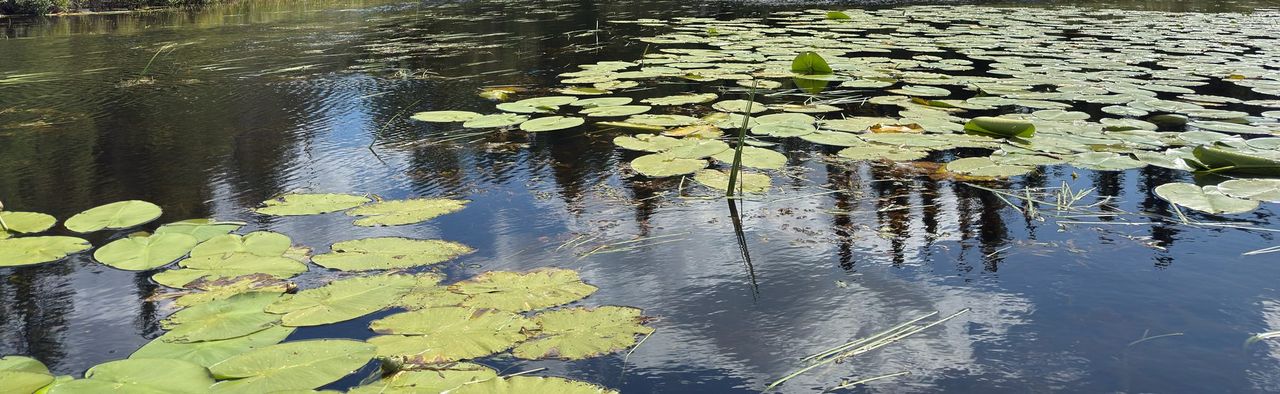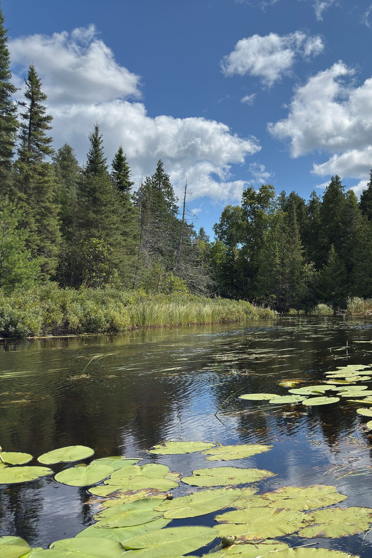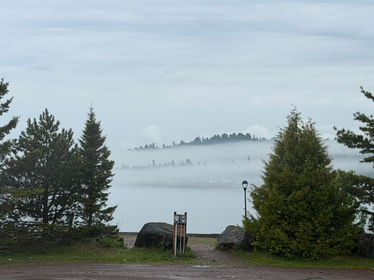
Most of the woods behind Grand Marais are federal land. The Superior National Forest covers about three million acres of northeastern Minnesota, was established in 1909 and includes the million-acre Boundary Waters Canoe Area Wilderness. The part you reach from Grand Marais is the Gunflint Ranger District, which runs from near Lake Superior to the Canadian border.
The offices
| Office | Address | Phone | Hours, October 1, 2026 to April 30, 2027 |
|---|---|---|---|
| Gunflint Ranger District | 2020 W. Highway 61, Grand Marais, MN 55604 | 218-387-1750 | Tuesday to Thursday, 9:00 a.m. to 4:00 p.m. |
| Tofte Ranger District | 7355 West Hwy 61, Tofte, MN 55615 | 218-663-8060 | Tuesday to Thursday, 9:00 a.m. to 4:00 p.m. |
| Forest Supervisor's Office | 8901 Grand Avenue Place, Duluth, MN 55808 | 218-626-4300 | Call |
Both district offices close on federal holidays. Hours change with the season, so check the Gunflint Ranger District page before you drive over. The general email is SM.FS.Superior_NF@usda.gov.
What the Grand Marais office does
- Sells maps: the forest visitor map ($14) and topographic quadrangles ($8 each).
- Hands out printed Motor Vehicle Use Maps on request. They are free.
- Sells firewood-cutting permits for home use: $20 for four cords, good only on Superior National Forest land. You can also buy them online.
- Sells interagency passes. Call first to be sure one is in stock.
- Stocks the free self-issued Boundary Waters permit forms, which are also at every entry point kiosk.
- Answers questions about roads, trails, closures and conditions.
What it does not do
- It does not issue Boundary Waters quota permits. In the Grand Marais area, only cooperating businesses are listed as issuing stations now. Reserve at Recreation.gov and see Boundary Waters entry points.
- It does not take campsite reservations. Those are on Recreation.gov.
- It does not sell fishing or hunting licenses. State rules apply in the forest, and licenses come from the Minnesota DNR.
Where you can camp
The forest has five kinds of camping. Four of them are outside the wilderness.
| Kind | What you get | Cost | Reservations |
|---|---|---|---|
| Fee campground | Vault toilets, drinking water, garbage and recycling, a table, fire ring and tent pad at each site | $22 to $24 a night near Grand Marais, as of 2026 | Some sites on Recreation.gov, the rest first come, first served |
| Rustic campground | Fewer than ten sites. Outhouse, tables and fire rings. No drinking water, no garbage cans | Free | None |
| Backcountry campsite | A single site with a fire grate, tent space and a wilderness latrine | Free, no permit | None |
| Dispersed camping | Nothing. You pick a spot in the general forest | Free, no permit | None |
| Wilderness camping | Designated Boundary Waters sites | Permit required | Permit on Recreation.gov |
Fee campgrounds in the Gunflint District
| Campground | Sites | Fee, 2026 | How to get there from Highway 61 |
|---|---|---|---|
| Kimball Lake | 10 | $22 | Gunflint Trail 10.7 miles, then Forest Road 140 for 2 miles |
| Devil Track Lake | 16 | $22 | Gunflint Trail about 4 miles, then County Road 8 about 8.4 miles |
| Two Island Lake | 38 | $22 | Gunflint Trail 3.7 miles, County Road 8 for 6 miles, County Road 27 for 4 miles |
| East Bearskin Lake | 32, including 4 cabins | $22, cabins $88 | Gunflint Trail about 26 miles, then Forest Road 146 for 1 mile |
| Flour Lake | 37 | $24 | Gunflint Trail about 27 miles, then Clearwater Road 3 miles |
| Iron Lake | 7 | $24 | Gunflint Trail 36 miles, then County Road 92 for 2 miles |
| Trail's End | 32 | $24 | The end of the Gunflint Trail, about 57 miles |
In 2026 these opened between May 4 and May 8 and charged fees through October 18. After that there is no water, no garbage service and no fee, and some access roads are not plowed. Each site holds at most nine people, and the stay limit is 14 days. Most fee campgrounds sell firewood. Interagency Senior and Access passes are accepted.
Cascade River, reached by County Road 8 and forest roads, is a typical rustic campground. It has four free sites, a vault toilet, no water and no garbage pickup. Pack out everything.
Dispersed camping rules
You may pitch a tent almost anywhere in the forest outside the Boundary Waters without a permit, on these conditions:
- No more than 14 consecutive days in one place, and no more than 30 consecutive days anywhere on national forest land.
- Do not cut live trees or build anything: no new fire rings, tent pads or trenches.
- Do not leave gear unattended for more than 24 hours.
- Park where you do not block traffic or damage soil and plants.
- Use a camp stove, or erase all sign of your campfire before you leave.
- Pack out all garbage.
Dispersed sites and backcountry sites are the first places a campfire ban applies, so check restrictions before you count on a fire.
Firewood and fire restrictions
You do not need a permit to gather dead wood for a campfire where you are camped. Do not bring firewood from far away. Hardwood firewood may not be brought into Minnesota at all without approval from the state Department of Agriculture, and in the Boundary Waters out-of-state wood is prohibited. Buy it where you burn it.
When it is dry, the forest restricts fires in stages. In July 2026, after lightning started more than 25 wildfires, Class IV restrictions, a total fire ban, took effect on July 12. On July 29 the forest eased to Class III. Fires were allowed only in the metal fire rings the Forest Service provides in fee and rustic campgrounds, and stayed banned at backcountry sites, dispersed sites and in the Boundary Waters. Gas and propane stoves with an on/off valve stayed legal.
Check two places before you light anything:
- Superior National Forest alerts, which shows the current fire danger for the East Zone (Gunflint and Tofte districts) and every closure order.
- The Minnesota DNR fire danger and burning restrictions map, which shows burning restrictions county by county.
Smoke is not always a wildfire. The forest planned prescribed pile burning through December 2026, as weather allows.
Maps and the MVUM
The Motor Vehicle Use Map is the legal word on where you may drive a truck, ATV, off-highway motorcycle or e-bike. If a road or trail is not on the current map, you may not ride it, whatever a sign says. Cross-country travel is not allowed, including to retrieve game. Snowmobiles are covered by separate rules.
The Grand Marais area is on two sheets, "Grand Marais Area" and "Upper Trail Area." Download the free, geo-referenced PDFs from the maps page. New ones come out every year. Since April 2026 the Forest Service no longer updates its maps in the Avenza store, so the PDF from the forest's own site is the one to trust.
Passes and fees
- Hiking and dispersed camping are free.
- Campground fees are listed above. Some day-use sites charge a fee.
- The interagency annual pass is $80 for US residents and $250 for nonresidents as of 2026. The senior pass is $20 a year or $80 for life. Access and military passes are free. The National Park Service pass page has the full list.
- Boundary Waters overnight fees are separate: $16 per adult per trip in the quota season.
Reporting a problem
| Problem | What to do |
|---|---|
| Emergency, injury, wildfire | Call 911 |
| Illegal dumping, resource damage or another violation, not an emergency | Email sm.fs.suf-tipline@usda.gov with who, what, when, where, vehicle details and road names |
| Downed trees, washed-out road, damaged facility | Call the Gunflint Ranger District, 218-387-1750 |
| Anything else | Use the forest's contact form or call Duluth, 218-626-4300 |
Breaking a forest order is a federal misdemeanor with fines up to $5,000 for an individual.