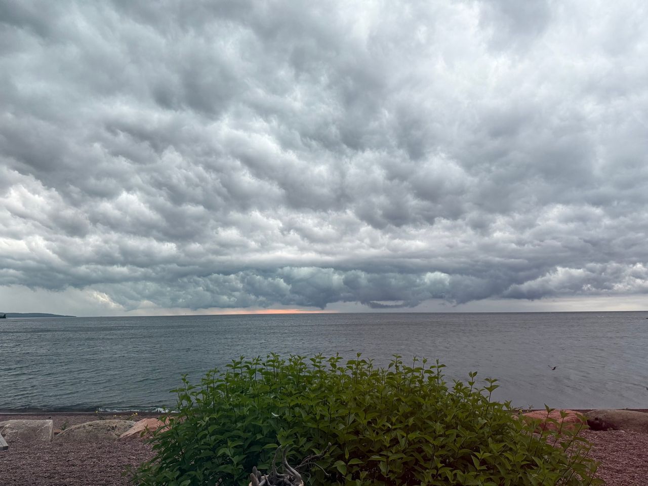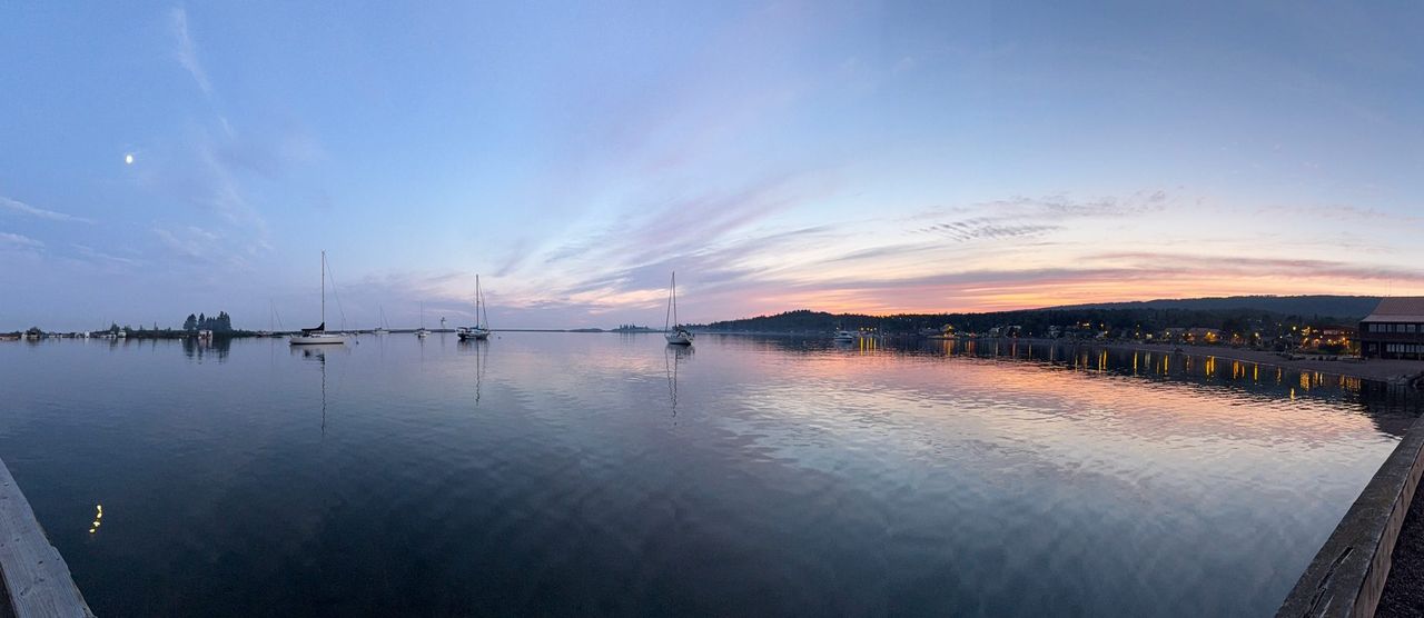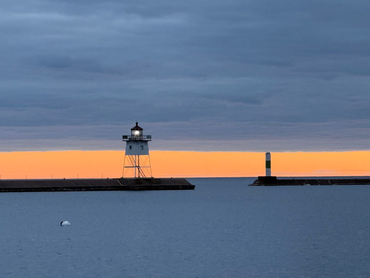
Grand Portage sits at the far northeast tip of Minnesota, where Highway 61 ends at the Canadian border. It is the home of the Grand Portage Band of Lake Superior Chippewa, and everything a visitor comes to see here is on or beside the Band's land. There are two parks here and both are free. The state park has the High Falls of the Pigeon River. The national monument has the trail people walked to get around those falls.
Getting there
From Grand Marais, drive northeast on Highway 61. The Minnesota DNR puts Grand Portage State Park, at the border, about 36 miles from town. The village of Grand Portage and the national monument come first. Coming from the south, turn right at the monument sign onto Casino Road (the corner with the Trading Post and gas station), then left onto Mile Creek Road.
Watch the time. Grand Portage is on Central Time, but phones often pick up a signal from Ontario and jump ahead an hour to Eastern Time. If you have a ferry to catch, check your phone against a clock you trust.
Whose land this is
The Band's name for this place is Gichi Onigaming, the Great Carrying Place. The Band describes itself as a sovereign nation, federally recognized, whose leaders signed the 1854 Treaty of LaPointe. That treaty ceded most of the Band's homeland to the United States; the Grand Portage Reservation is what remained. The Band is one of the six member bands of the Minnesota Chippewa Tribe and is governed by a five-member Reservation Tribal Council.
The Band's enterprises, which include the Grand Portage Lodge and Casino, the marina and the Trading Post, support tribal government and community programs.
People live and work here. Keep to public roads and marked trails, ask before you photograph people, and leave artifacts where you find them. The tribal government office is at 83 Stevens Road, 218-475-2277, and the Band's site is grandportageband.com.
Grand Portage National Monument
Congress established the monument in 1958. Its 710 acres take in the historic depot on Lake Superior, the site of Fort Charlotte on the Pigeon River, and the portage trail between them. The National Park Service says about half of that land was donated by the Band, and the two co-manage the monument. There is no entrance fee and you do not need a pass.
Heritage Center. Start here. It is at 170 Mile Creek Road and is open year-round. Two floors of exhibits cover Anishinaabe culture and the fur trade, and a 23-minute film plays in the classroom. In winter you can ask at the front desk to borrow snowshoes for the day.
The historic depot. Across Mile Creek Road, a palisade encloses the reconstructed North West Company depot. Inside are the Great Hall, the Kitchen and a gatehouse. A Canoe Warehouse and an Ojibwe Village stand outside the walls. The Park Service notes that Ojibwe carpenters from Grand Portage rebuilt the four buildings and the stockade in the 1970s, over foundations found by archaeologists. The depot is seasonal. In 2026 the summer season ran May 23 through October 12.
The Grand Portage. The trail, Gichi Onigaming, runs 8.5 miles from the lake to Fort Charlotte, 17 miles round trip. People walked it for thousands of years to get around the falls and gorges of the lower Pigeon River, and under the Webster-Ashburton Treaty of 1842 it stays open to citizens of both the United States and Canada. The footing is uneven, rocky and often wet, and the boardwalks turn slick with frost. Water along the trail is not potable, so carry plenty.
Two backcountry campsites at Fort Charlotte are the only camping in the monument. A free permit is required, the Park Service asks for two weeks to process it, and a site holds at most nine people. Apply on the monument's camping page.
Mount Rose. One mile round trip, steep, with stairs, to a view over the depot and Grand Portage Bay.
Leashed pets are welcome on both trails but not in the Heritage Center or the depot buildings.
Grand Portage State Park and the High Falls
At the very end of the highway, just before the U.S. customs station, is a state park that the state does not own. The land is held in trust for the Band by the Bureau of Indian Affairs and leased to the state, and the park was created in 1989 by the Band and the State of Minnesota working together. The DNR calls it the only state park not owned by the state.
The High Falls of the Pigeon River drops 120 feet and is the tallest waterfall in Minnesota. The far bank is Canada.
- High Falls Trail: one mile round trip and paved. The last 700 feet is a boardwalk to the overlook, where there are three viewing decks. The DNR lists the trail as wheelchair accessible.
- Middle Falls Trail: 4.5 miles round trip over a ridge to a 20-foot waterfall. Expect rocks, roots, several hundred feet of climbing and mud after rain. Allow three to four hours.
- Cost: free. State park vehicle permits are not required here.
- Camping: none. It is a day-use park.
The welcome center doubles as a highway rest area and travel information center, and the rest area bathrooms are open 24 hours.
At a glance
| Place | When | Cost | Contact |
|---|---|---|---|
| Heritage Center, national monument | Year-round. Summer 2026: daily 9:00 am to 5:00 pm | Free | 170 Mile Creek Road, 218-475-0123 |
| Historic depot, national monument | May 23 to Oct 12, 2026: daily 9:30 am to 4:30 pm | Free | Same |
| Grand Portage and Mount Rose trails | Year-round | Free. Free permit to camp at Fort Charlotte | Same |
| Grand Portage State Park | Daily 8 am to 10 pm. Information desk, gift shop and exhibits 9 am to 5 pm | Free, no vehicle permit | 9393 East Highway 61, 218-877-8630 |
| Isle Royale ferries | 2026: Voyageur II May 9 to Sep 24, Sea Hunter III Jun 10 to Sep 5 | Fare plus park entrance fee | Hat Point Marina, 218-600-0765 |
Hours are as published for 2026. Before an off-season trip, check the monument's hours page or call. Trail conditions for the falls are on the state park page.
Rendezvous Days and the Pow Wow
On the second weekend of August, two events run side by side. At the monument, Rendezvous Days fills the depot with reenactors, music, dancing, crafts and period games. Just up the road, within walking distance, the Band hosts the Rendezvous Days Pow Wow. In 2026 the dates were August 7 to 9. Admission to the monument event is free.
The Pow Wow is the Band's event, not the Park Service's. If you have questions, including what is appropriate to photograph, the Park Service points people to the Tribal Council office at 218-475-2277.
Manidoo-giizhikens, the Spirit Little Cedar Tree
On the rocky shore of Hat Point grows a very old, twisted cedar that many visitors know as the Witch Tree. Its Ojibwe name is Manidoo-giizhikens, Spirit Little Cedar Tree. Travis Novitsky, a Band member and photographer who leads visits there, has said that as far as he knows the "Witch Tree" name came from a painting by a non-Native artist, and that he prefers Spirit Tree. He describes it as a spiritual place where people leave tobacco and pray for a safe journey.
The site is not open to the public. Northern Wilds magazine reports that the Band bought the land in 1989 to protect the tree and that hiking down to it is prohibited unless you are with a member of the Band. Do not go looking for it on your own. If seeing it matters to you, call the Band and ask whether a guided visit is possible.
Mount Josephine
Mount Josephine rises on the east side of Grand Portage Bay. Visit Cook County describes a challenging 2.5-mile hike with views of the bay, the Susie Islands and Isle Royale. Ask locally about the trailhead before you set out, or take in the mountain from the Wayswaugoing Bay Overlook wayside on Highway 61.
Ferries to Isle Royale
Two passenger boats run from Hat Point Marina to Isle Royale National Park, which the Band knows as Minong. There is no car ferry.
- Sea Hunter III makes day trips to Windigo: leave Grand Portage at 8:30 am, arrive 10:00 am, leave the island at 2:00 pm, back at 3:30 pm. That gives you four hours ashore.
- Voyageur II leaves at 7:30 am, circles the island over two days and spends the night at Rock Harbor.
All of those times are Central; the island itself runs on Eastern. As of 2026 the operator lists a $5 daily parking fee at the marina and the park charges a $7 per person daily entrance fee. The boats fill, so reserve with Grand Portage Isle Royale Transportation Lines well ahead, and read the Park Service pages for the Sea Hunter III and Voyageur II. The crossing is open Lake Superior; see our Lake Superior guide and the weather page.
The border
Highway 61 crosses the Pigeon River into Ontario just past the state park. The U.S. port of entry is at 9403 East Highway 61, 218-475-2244. Check U.S. Customs and Border Protection's Grand Portage page for document requirements before you drive up. Thunder Bay is about 50 miles beyond Grand Portage.