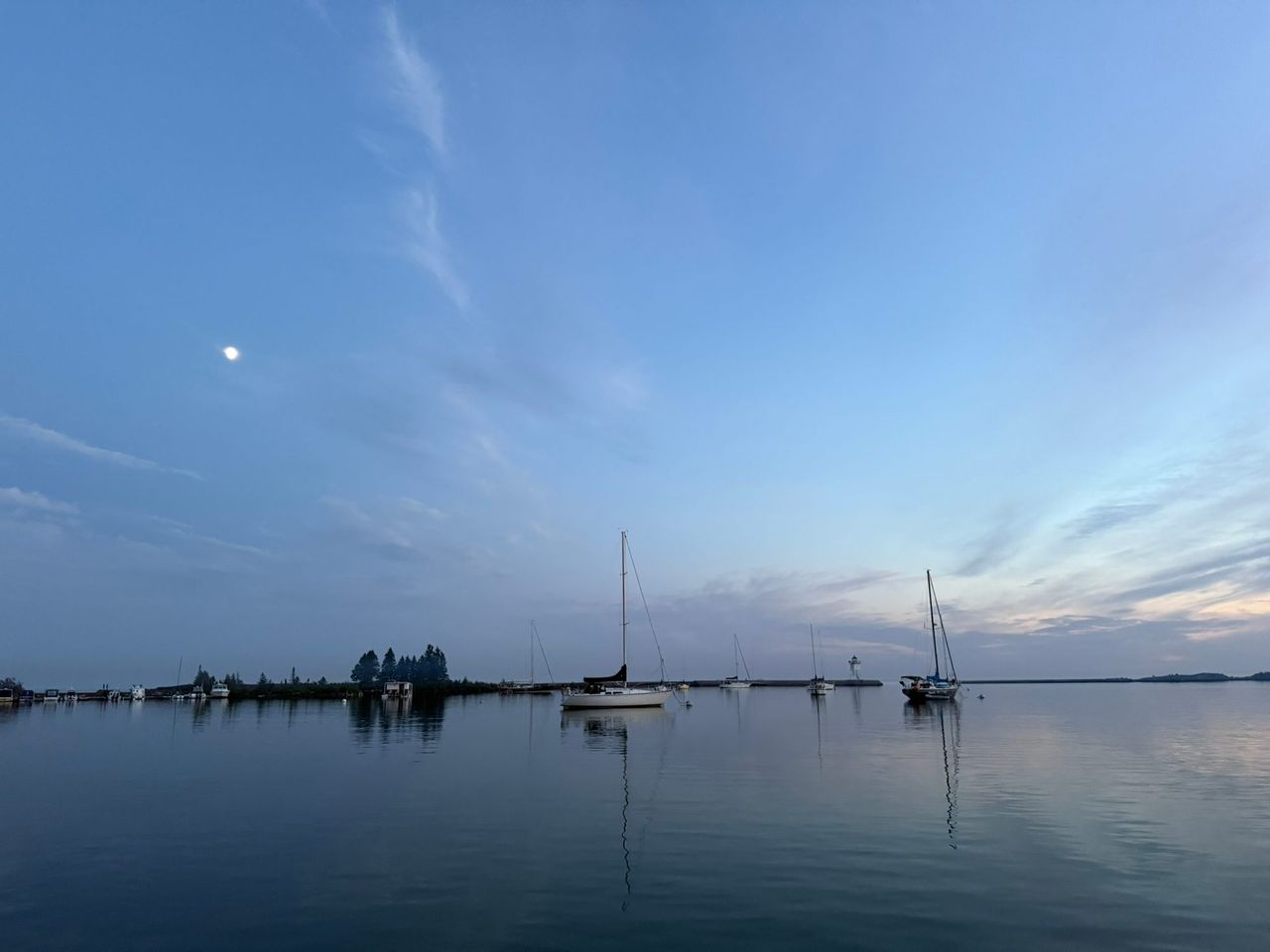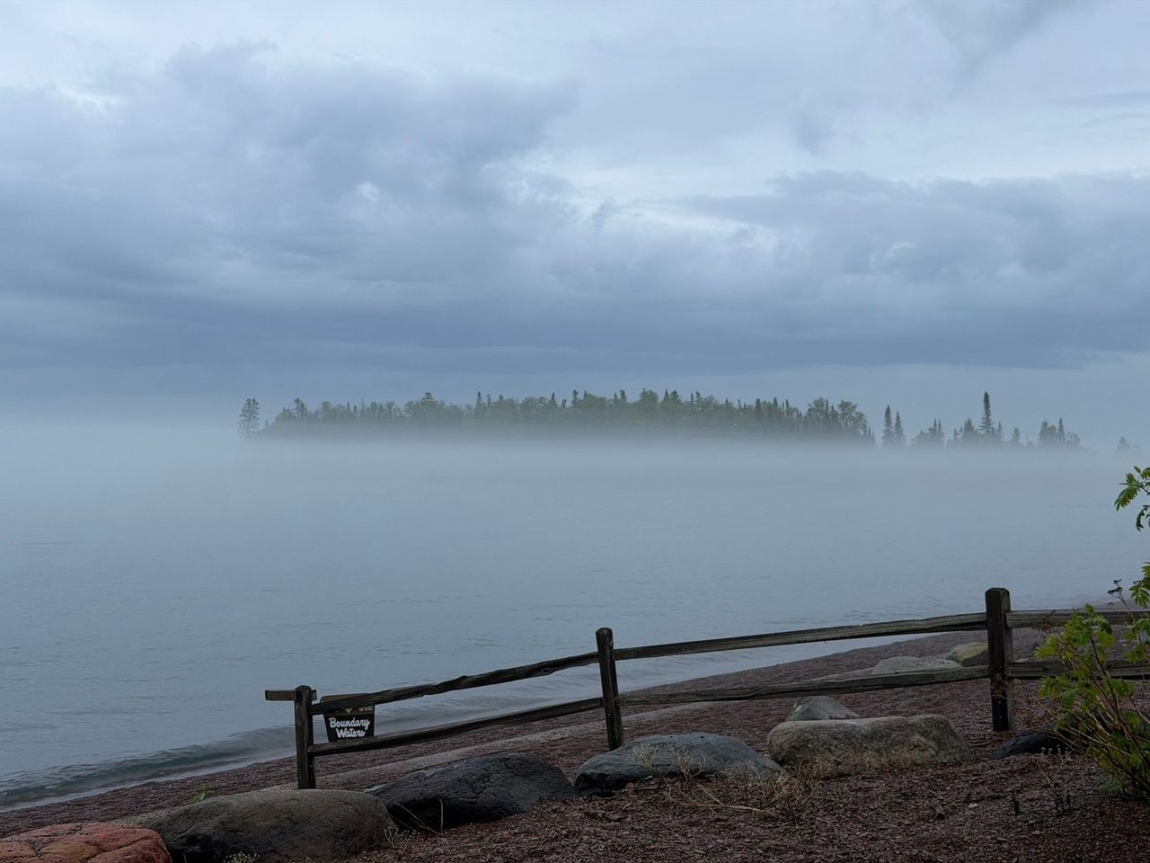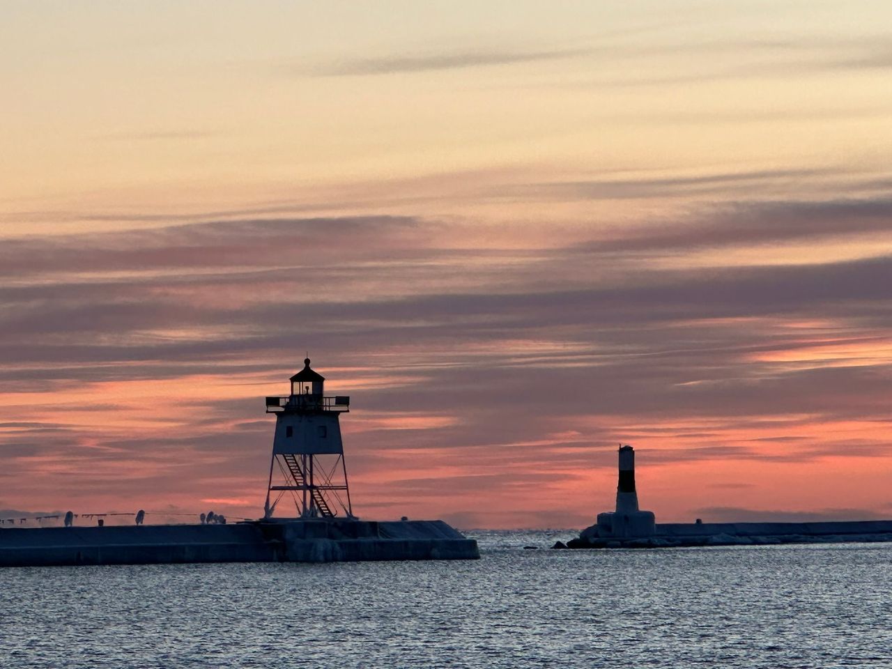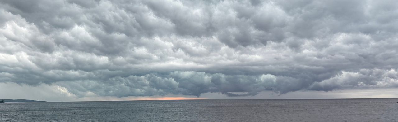
Grand Marais sits on the open north shore of the largest of the Great Lakes. The harbor is calm on most summer mornings, but the water a few steps from downtown is cold enough to be dangerous in every month, and the weather over it changes fast.
How big it is
Lake Superior covers 31,700 square miles. It averages 483 feet deep, reaches 1,332 feet at its deepest, and holds about 2,900 cubic miles of water. Its shoreline, islands included, runs 2,726 miles. Its retention time is 191 years.
It is the northernmost, westernmost, highest and deepest of the five Great Lakes, and 160 miles across at its widest. It is colder than the other four, forms more shore ice, and has a shorter shipping season, about 8 months.
Ships are part of the view. One of the recommended north shore routes for lake vessels in NOAA's Coast Pilot passes about 5.5 miles south of Grand Marais Harbor, close enough to follow a freighter along the horizon on a clear day.
Water temperature through the year
NOAA keeps a gauge in the harbor (station 9099090, also listed as GDMM5) that reports water temperature. These are the averages of its readings for 2021 through 2025.
| Month | Average at the harbor gauge |
|---|---|
| May | 42°F |
| June | 46°F |
| July | 50°F |
| August | 53°F |
| September | 55°F |
| October | 55°F |
| November | 52°F |
The table starts in May because the gauge has no winter water readings for those years. It sits inside the harbor and its readings change slowly, so an open beach can differ from it on the same day. No monthly average reached 60°F in any of the five years. The warmest water of the year arrives in September and October, not in July.
The current reading is on the weather page and on the NOAA station page.
Cold water safety
Water temperatures on Superior are always cold, even in summer. The Minnesota DNR's boating guide says so in those words.
The National Weather Service cold water page explains why that matters. Cold shock in water of 50 to 60°F can be just as severe and dangerous as in water at 35°F. In the first minutes you gasp and breathe fast without meaning to, your heart rate and blood pressure jump, and your arms, legs and hands start to lose strength. Hypothermia, which begins when core body temperature falls to 95°F, comes later.
On this shore, that means:
- Wear a life jacket any time you are on the water, and put it on before you leave shore. The NWS says wearing one significantly increases your chance of survival.
- Dress for the water temperature, not the air temperature. The NWS lists wetsuits and dry suits among the right gear.
- Do not jump in to cool off on a hot day. Enter slowly if you go in at all.
- Keep children within arm's reach at the water's edge.
Waves, fog and storms
The season tells you most of what to expect. These figures are from the weather summary for Lake Superior in NOAA's Coast Pilot.
Summer
Waves are 2 feet or less about 60 to 70 percent of the time. Seas of 10 feet or more are rare. Thunderstorms are most likely in June, July and August and can build rough, choppy water quickly.
Fog
On the open lake, April through August are the fog-prone months, and June and July are the worst. Along the shore, dense fog is mostly a morning event. The Coast Pilot warns of frequent fog on the stretch of shore northeast of Grand Marais.
Fall and winter
Seas of 5 feet or more can be expected 20 to 30 percent of the time in September and more often by November. By late fall, seas run 10 feet or more about 5 to 10 percent of the time. Late autumn is the worst season for gales. In winter, ice forms in practically all harbors and bays on the lake.
People come here to watch storms. Do it from well back, not from the breakwater or from wet rock at the waterline. Waves arrive in sets, and a larger one can reach ground that was dry a minute ago.
Where to reach the shore
| Place | Where | What to expect |
|---|---|---|
| Harbor Park | Downtown, on the harbor | The town's waterfront park. It connects to Boulder Park. |
| Boulder Park and Artist's Point | East of Harbor Park | Boulder Park leads to Artist's Point and the walk out to the breakwater light. |
| Grand Marais Downtown Beach | In town | A Lake Superior beach tested by the state beach monitoring program. |
| Grand Marais Campground Beach | At the city campground | Also tested by the state program. |
| Cutface Creek Wayside Rest Beach | Highway 61, southwest of town | A state highway rest area on the shore with vault toilets and a picnic area. Tested by the state program. |
| Kadunce Creek, Colville Creek, Durfee Creek and Chicago Bay Boat Launch beaches | Highway 61, northeast of town toward Hovland | Four more tested beaches in the Colville and Hovland area. |
The city's local information page describes Harbor Park, Boulder Park and the route to Artist's Point. The full list of tested beaches is at mnbeaches.org.
The walk to the light
Grand Marais Light stands at the outer end of the east breakwater, on the east side of the harbor entrance. The breakwater is a working navigation structure maintained by the Army Corps of Engineers, not a park path. It has no shelter and the lake is on both sides. Walk it in calm, dry weather. Stay off it when waves are breaking over it, when it is wet or iced, and when a thunderstorm is near. The Army Corps of Engineers guide explains what the structure is and who looks after it.
Swimming
People do swim here, briefly, on warm days in late summer. Treat it as a cold-water dip. Stay close to shore, stay in water you can stand in, and get out before you feel numb.
Check the water quality first. The Minnesota Department of Health tests Lake Superior beaches for E. coli. The standards are 235 organisms per 100 milliliters in a single sample and an average of 126 over 30 days, and an advisory is posted when levels are too high. Current advisories are at mnbeaches.org.
Then check the waves. Surf on the Great Lakes brings dangerous currents: rip, longshore, outlet and channel currents. The National Weather Service in Duluth explains them, and Great Lakes swim risk, on its beach hazards page. Stay away from breakwaters and river mouths when there is any surf.
Agates and rock picking
The Lake Superior agate has been Minnesota's state gemstone since 1969. Agates are layered quartz, colored red, orange and yellow by iron, that formed in gas bubbles in lava about a billion years ago. Most are small, from the size of an almond to the size of a walnut.
The rules are short:
- Rock collecting is not allowed in state parks, state recreation areas or state scientific and natural areas. Near Grand Marais that covers the shore inside Cascade River and Judge C.R. Magney state parks.
- On private land you need the landowner's permission.
- Some other sites are look-only. Sugarloaf Cove is one. Check the signs where you are before you pocket anything.
Go agate hunting after a big storm, when new rock has been thrown up on the beach. Wet a stone to see the banding and the glossy shine.
Forecasts and live data
| What | Source |
|---|---|
| Nearshore marine forecast, Grand Portage to Grand Marais (zone LSZ140) | NWS Duluth |
| Nearshore marine forecast, Grand Marais to Taconite Harbor (zone LSZ141) | NWS Duluth |
| All marine products, including the open lake forecast | NWS Duluth marine page |
| Harbor water temperature, air temperature and pressure | NOAA station GDMM5 |
| Open-lake buoy, western Lake Superior | NDBC buoy 45006 |
| Buoys and sensors across the Great Lakes | GLOS Seagull |
The nearshore forecast covers water within 5 nautical miles of shore and gives wind, waves and sky for each period. Grand Marais is the dividing point between two zones, so read both. NOAA Weather Radio has a transmitter at Grand Marais.
For the land forecast, see the weather page. To look at the harbor before you walk down, use the webcam. If you are taking a boat out, read the boating guide first.