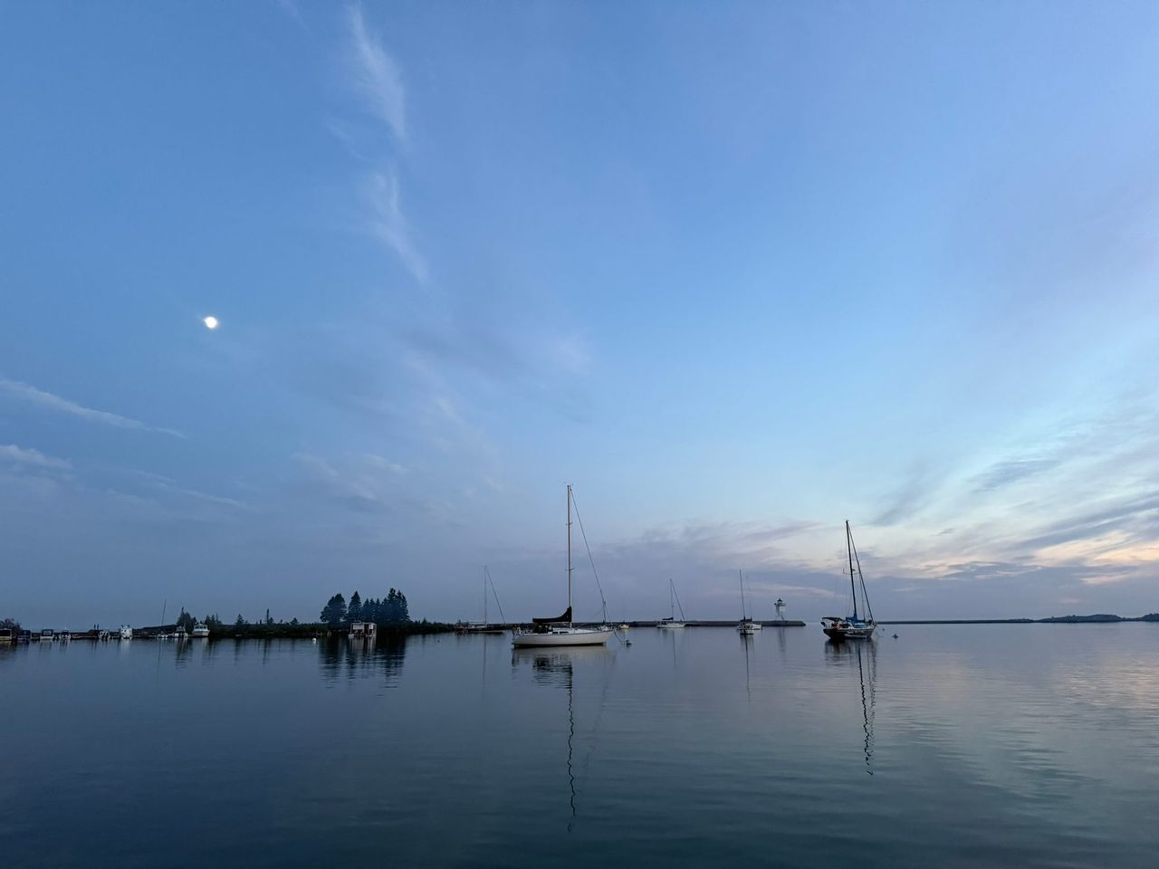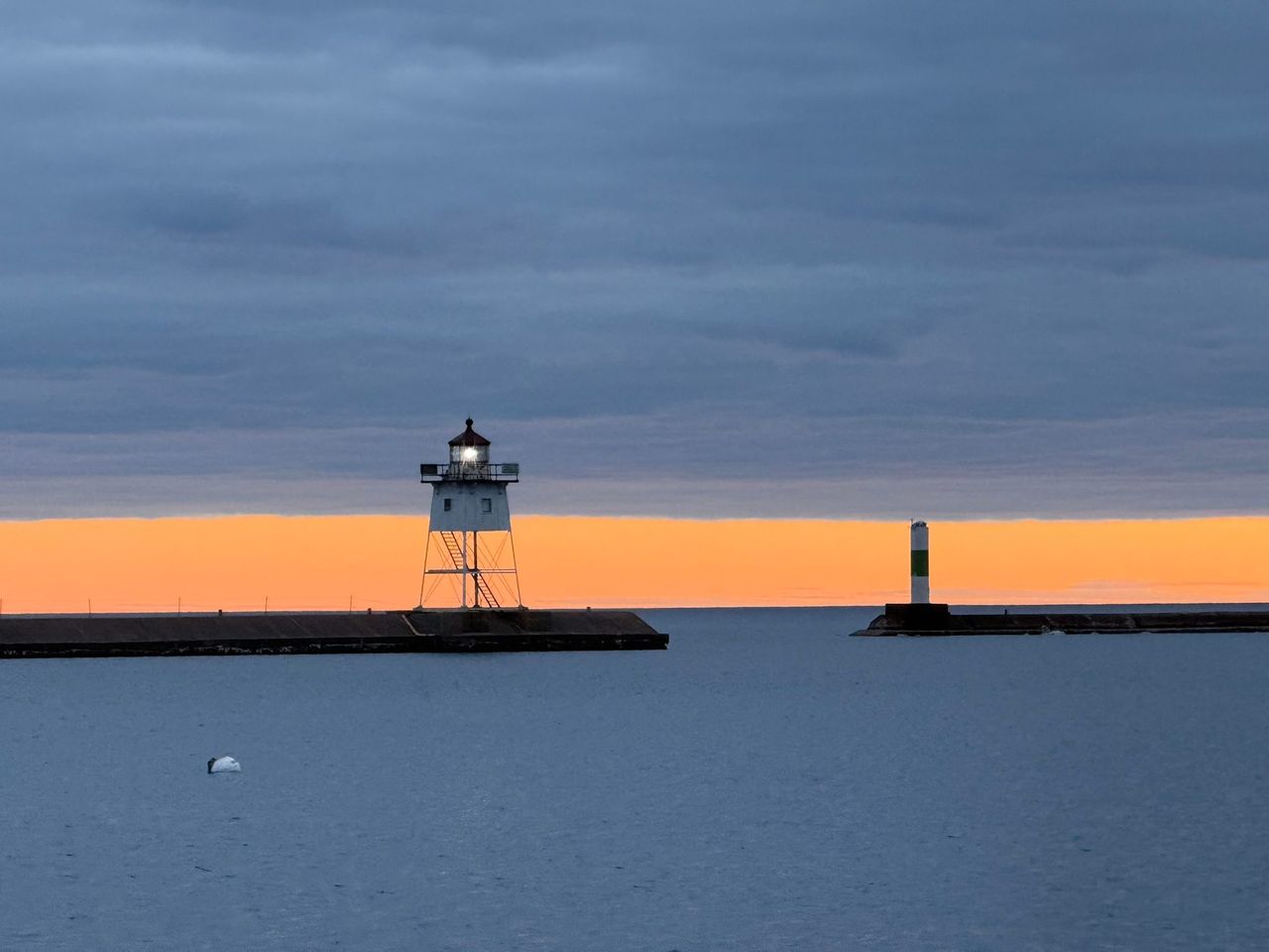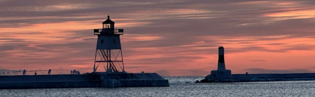
The harbor at Grand Marais is a natural bay that the federal government has been improving since 1880. The breakwaters you walk on, the concrete seawall in the southeast corner and the depth of water a sailboat floats in all belong to one federal navigation project. The agency responsible for it is the U.S. Army Corps of Engineers.
What the federal project includes
The Corps publishes a two-page fact sheet for Grand Marais Harbor. These figures are from the October 2025 edition.
| Feature | Detail |
|---|---|
| Authorization | Rivers and Harbors Act of 1879 |
| Breakwaters | More than 1,600 feet |
| Seawalls | More than 800 feet of concrete seawall in the southeast corner of the harbor |
| Small-boat basin | About 38 acres, the major part of the project |
| Channel | A small federal channel behind the west breakwater, about 500 by 100 feet |
| Project depth at the entrance | 20 feet |
| Depth inside the harbor | 16 to 18 feet |
| Project depth in the small-boat harbor | 8 feet |
| Type | A deep-draft harbor that mainly serves recreational users |
| Last dredged | 2008 |
Project depth is the depth the Corps is authorized to maintain. It is not a promise about the water under your keel today. For that, use the current NOAA chart and the Coast Pilot.
The Corps gives four reasons the project matters. It is an important harbor of refuge. It supports charter fishing and recreational boating. It is home to one of the remaining commercial fishing operations on Lake Superior. And it gives law enforcement, research and rescue agencies a way onto the lake.
How the harbor was built
The best early account is a report the Chief of Engineers sent to Congress in May 1908, printed as House Document 939 of the 60th Congress. The Corps officer in Duluth, Maj. Graham D. Fitch, described the harbor as he found it in 1907:
- Before improvement the bay was generally 8 or 9 feet deep, with 14 feet over only a small area. The natural entrance was about 1,000 feet wide.
- Federal work began in 1880.
- By 1907 there were two breakwaters, each 350 feet long, one from each side of the entrance. They narrowed the opening to about 500 feet.
- The west breakwater was built in 1900 and 1901 to give protection from southwest storms.
- The government had dredged 26 acres in the east part of the bay to 16 feet. That was 42 percent of the bay.
- Spending on improvements and maintenance from 1880 to June 30, 1907 came to $165,686.
Fitch called Grand Marais the only harbor of refuge on the north shore between Two Harbors and the Pigeon River, a distance of 125 miles, that gave protection from storms in every direction. In 1906 the port logged 1,224 arrivals and departures, nearly all steamers.
The report is candid about a design problem. The east breakwater had been angled to shelter the old wharf in the east corner of the bay. Once the west breakwater was added, northeast storms still swept into the west part of the harbor and made the entrance harder. Fitch proposed relocating the east breakwater and dredging more of the bay. The Board of Engineers for Rivers and Harbors recommended trying the dredging first, at an estimated $70,416, and the Chief of Engineers agreed.
That history still shows in the sailing directions. The Coast Pilot tells vessels entering in a northeast storm to keep well over toward the east breakwater to avoid the shoals to the west, and describes the west part of the harbor as shoal and exposed.
The breakwaters now total more than 1,600 feet, far more than the 700 feet of 1907, so the structures were lengthened or added to after that report.
Which Corps office
Grand Marais Harbor belongs to the Detroit District, part of the Great Lakes and Ohio River Division. The Detroit District covers Michigan and parts of Minnesota, Wisconsin and Indiana, and has an area office in Duluth. The division's Great Lakes Navigation System page covers the whole system of harbors.
The Detroit District also has a Grand Marais Harbor in Michigan, on the south shore of the same lake. Search results and some histories mix the two up. Check for "MN" or "Minnesota" in the title before you trust a number.
Dredging and current work
The harbor needs maintenance dredging only infrequently. It was last dredged in 2008 and does not need dredging now. The budget table in the fact sheet shows what the Corps asked for and what it received, in thousands of dollars:
| Work | FY24 need | FY24 funded | FY25 need | FY25 funded | FY26 need | FY26 President's budget |
|---|---|---|---|---|---|---|
| Sediment sampling, analysis and environmental coordination | 250 | 0 | 250 | 0 | 250 | 0 |
| Critical structure safety maintenance | 25 | 0 | 25 | 25 | 0 | 0 |
| Navigation structure condition assessment | 0 | 0 | 8 | 8 | 8 | 8 |
| Total | 275 | 0 | 283 | 33 | 258 | 8 |
As of October 2025, safety maintenance on the structures was to be done with $25,000 of fiscal year 2025 money. A condition assessment of the structures was funded at $8,000 a year. The $250,000 sediment study that would come before any future dredging had not been funded. The sampling is meant to characterize the sediment and find places to put dredged material, including beneficial uses.
The Corps also lists what is at risk if the structures are not kept up: more wave energy and storm damage inside the harbor, danger to the people who walk on the concrete structures, and loss of the boat launch, the fishing fleet and the harbor of refuge.
Who does what around the harbor
| Who | Role |
|---|---|
| U.S. Army Corps of Engineers, Detroit District | Responsible for the federal project: the breakwaters, the seawall, and the authorized depths of the basin and channel. |
| City of Grand Marais | Runs the municipal marina and campground through the Grand Marais Recreation Area. See the boating guide. |
| Minnesota DNR | Built the public boat launch with the city in the early 1980s, registers boats and enforces state boating law. See the Minnesota DNR guide. |
| U.S. Coast Guard | Maintains the lights on the breakwaters and publishes the Light List and Local Notice to Mariners. Its North Superior station in Grand Marais closed in 2022. |
| NOAA | Publishes the chart and the Coast Pilot, runs the harbor water level gauge, and issues the marine forecast through the National Weather Service. |
| U.S. Forest Service | Owns land on the harbor that it leases to a private yacht club, according to the fact sheet. |
The Corps names the Coast Guard, the DNR, the city marina, the yacht club and North House Folk School as the major stakeholders in the project.
The October 2025 fact sheet and the current Coast Pilot both still describe the harbor as home to Coast Guard Station North Superior. The station has not been staffed since 2022. The Minnesota Historical Society's MNopedia records the closure, and local radio station WTIP reported in June 2026 that the Coast Guard is still working through the transfer of the 1.21-acre station property to the city.
Walking on the breakwater
The walk to the breakwater light is on a federal navigation structure. It was built to stop waves, not to carry visitors, and the Corps itself lists the safety of people on the concrete structures as one of its concerns. There is no shelter out there. Go in calm, dry weather, and stay off when waves are reaching the top, when the concrete is wet or iced, and when lightning is near. The Lake Superior guide has more on waves and cold water.
Mooring a boat to the breakwaters is prohibited.
Where to find the documents
| Document | What it is for | Where |
|---|---|---|
| Grand Marais Harbor, MN fact sheet | Project features, dredging status, funding | Detroit District operations site |
| Great Lakes Navigation System | The Corps' overview of all Great Lakes harbors | Great Lakes and Ohio River Division |
| Coast Pilot 6, chapter 13 | Sailing directions for the harbor | NOAA Office of Coast Survey |
| Local Notice to Mariners | Weekly changes to lights, buoys and hazards | Coast Guard Navigation Center |
| Harbor water level | Live readings from the gauge in the harbor | NOAA station 9099090 |
| House Document 939 (1908) | The early history of the project | GovInfo |
If the fact sheet link does not open, search the Detroit District's site for "Grand Marais Harbor, MN". Check the date in its footer. The funding table changes with each edition.