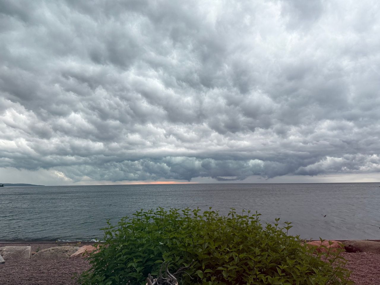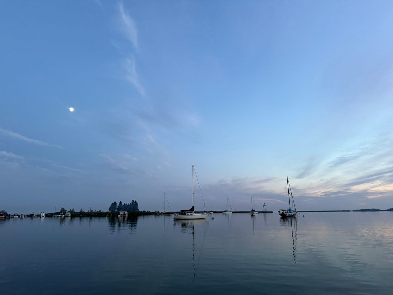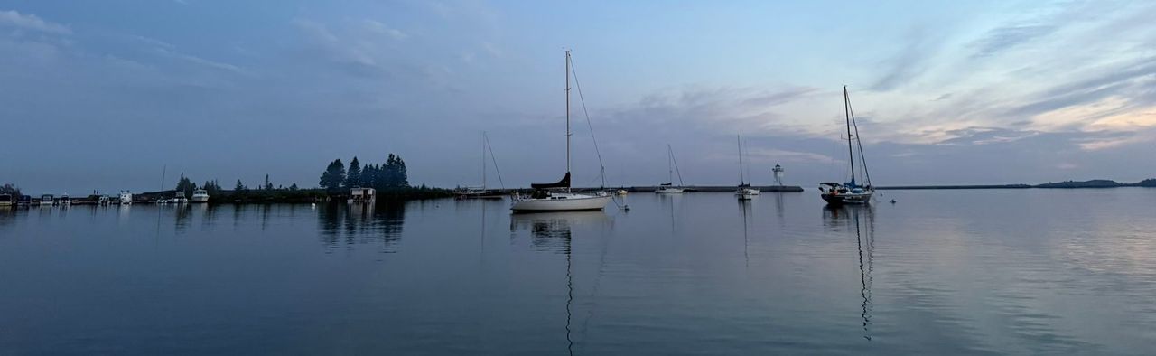
Grand Marais has the only fully protected small-craft harbor on a long, exposed piece of the north shore. It has a city marina with fuel and pump-out, a public launch, and guest moorings. It also opens straight onto Lake Superior, where the water is cold all year and help can be a long way off.
A harbor of refuge
Grand Marais Harbor is a semicircular bay with a narrow opening to the south. NOAA's Coast Pilot lists it as the only harbor with facilities and adequate protection for small craft in the 125 miles between Two Harbors and the international boundary at the Pigeon River. The Army Corps of Engineers, which maintains the breakwaters, calls it an important harbor of refuge.
By water it is 108.8 miles northeast of the Duluth Harbor entry, 26.2 miles northeast of Tofte and 20.9 miles southwest of Horseshoe Bay.
Coming in
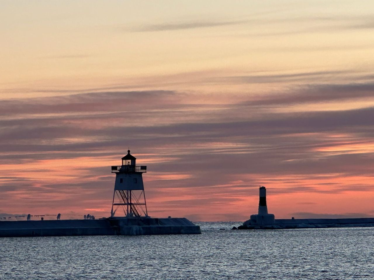
- You enter from the south, between breakwaters that reach out from the east and west sides of the entrance. An inner breakwater protects the small-craft basin in the north part of the harbor. All three ends are lit.
- Grand Marais Light is on the east side of the entrance. It is a white, square, pyramidal skeleton tower with the upper part enclosed, 48 feet above the water. You switch on its sound signal yourself by keying the microphone five times on VHF-FM channel 83A.
- West Breakwater Light 1 is a white cylindrical tower with a green band. Inner Breakwater Light 7 marks the small-craft basin.
- In a northeast storm, keep well over toward the east breakwater to avoid the shoals to the west.
- The east part of the harbor is fairly well protected from all storms. The west part is shoal and exposed to southeast storms and northeast swell.
- A reef with 8 feet over its outer end runs 1,000 feet east from the southeast end of the point that encloses the east side of the harbor.
- Large magnetic disturbances have been reported near the harbor.
- Mooring to the breakwaters is prohibited. The two old wharves in the southeast corner are not safe to tie to.
Project depths are 20 feet at the entrance, 16 to 18 feet inside the harbor and 8 feet in the small-boat harbor. Those are the Corps of Engineers' design depths, not a survey. Use the current NOAA chart and the Coast Pilot. The Army Corps of Engineers guide has more on the structures.
The municipal marina
The city runs the Grand Marais marina as part of the Grand Marais Recreation Area. It is in the northwest corner of the harbor, behind the inner rubble-mound breakwater.
| Season | June to September |
|---|---|
| Office hours | 8 AM to 8 PM |
| Phone | 218-387-1712 (toll free 800-998-0959) |
| Radio | VHF channel 16 |
| recpark@boreal.org | |
| Guest slips | Two reservable slips (A3 and B7) for boats up to 50 feet, with 30 and 50 amp power and drinking water |
| Small boats | One shallow-water slip (E1) for boats under 20 feet |
| Moorings | Guest moorings are generally available in the harbor |
| Fuel | Premium unleaded with no ethanol, and diesel |
| Other services | Sanitary pump-out, fish cleaning station |
These are the marina's rates as of September 2026. Confirm them when you book.
| Per night | Per month | Per season | |
|---|---|---|---|
| Deep-water slip with electric | $1.95 per foot | $28 per foot | $77.75 per foot |
| Shallow-water slip, no electric | $1.00 per foot | $14 per foot | $37.75 per foot |
| Mooring buoy | $35 | $380 | $822 |
| On-shore pull-up | $11 ($66 per week) | $110 |
A reservation takes a $40 deposit, which includes a $10 reservation fee. Pump-out is $5. Seasonal slips have a waiting list. Reserve by phone at 218-387-1712.
Launching
The DNR built the Grand Marais public access with the city in the early 1980s.
- Two concrete ramps and two docks.
- Paved parking for 40 vehicles with trailers. It fills during community events.
- Portable restrooms, and a short walk to downtown.
- The ramp is short, with a drop-off at the end dug out by power loading. Do not back in too far.
The DNR lists no launch fee.
What Minnesota law requires
The DNR's Minnesota Boating Guide is the authority and changes each year. These points are from the 2026 edition.
- Registration. Every motorized boat, and every non-motorized boat over 10 feet, must be licensed with the DNR. That includes canoes, kayaks and paddleboards. A license covers three calendar years. As of 2026 a canoe or kayak costs $23 plus a $20 invasive species surcharge and filing fees. A boat registered in another state is exempt if it is in Minnesota no more than 90 consecutive days. Register or renew at mndnr.gov/licenses.
- Life jackets. One wearable, Coast Guard approved life jacket for each person on board, within easy reach. That includes canoes, kayaks and paddleboards. Children under 10 must wear one while the boat is underway. Boats 16 feet or longer, other than canoes and kayaks, also need one throwable device.
- Operator's permit. Since July 1, 2026, anyone born after June 30, 2000 needs a watercraft operator's permit to run a motorboat or personal watercraft. The cutoff moves to June 30, 1996 on July 1, 2027, and to June 30, 1987 on July 1, 2028. Motors of 25 horsepower or less are exempt. Visitors who hold a valid certificate from their home state do not need a Minnesota one. The course is at mndnr.gov/boatingcourse.
- Equipment. Navigation lights from sunset to sunrise, a whistle or horn on motorboats 16 feet and longer, and a fire extinguisher on motorboats that carry fuel in an enclosed space.
- Distress signals. Lake Superior is the only water in Minnesota where federal law requires visual distress signals. Boats under 16 feet and paddle craft need them only between sunset and sunrise. Details are at uscgboating.org.
- Alcohol. Operating a motorboat while impaired is illegal. The limit is .08.
For Superior, the DNR also recommends a VHF marine radio, a chart, GPS and an emergency beacon, and telling someone your plan.
Invasive species
State law requires three things every time you leave any water access:
- Clean all plants, mud and debris off the boat, trailer and gear.
- Drain the boat, bilge, livewell and bait containers, and travel with the drain plug out.
- Dispose of unwanted bait in the trash. Releasing live bait into the water is illegal.
The DNR also recommends drying everything for at least 5 days before moving to another lake. Its clean, drain, dispose page has the details.
Paddling the big lake
Grand Marais is on the Lake Superior State Water Trail, which runs about 150 miles from Duluth to the Pigeon River. The DNR's advice is blunt. Canoes are not recommended. Sea kayaks are better suited to the open and windy water. Calm summer water can turn life-threatening in minutes, and cliffs can keep you from getting ashore.
Stay inside the harbor unless you have a sea kayak, cold-water clothing and the skills to get back in your boat. Check the water trail page for alerts. As of August 2026, the watercraft campsite by Horseshoe Bay in Hovland was closed.
Inland lakes nearby
When the big lake is too rough, the Superior National Forest has quieter water within about 15 miles of town. Docks come out for winter, but the ramps are usable whenever the ice is out.
| Lake | Launch | How to get there from Highway 61 |
|---|---|---|
| Devil Track Lake | Carry-down launch in the campground, and a drive-in ramp about half a mile away. Motors allowed. | Gunflint Trail (County Road 12) about 4 miles, left on County Road 8 for 5.7 miles, bear left at the fork and continue 2.7 miles. Paved all the way. |
| Two Island Lake | Concrete ramp at the campground. The lake is 753 acres. | Gunflint Trail 3.7 miles, left on County Road 8 for 6 miles, right on County Road 27 for 4 miles. |
| Kimball Lake | Non-motorized boating at a small campground on a trout lake. No ramp is listed. | Gunflint Trail 10.7 miles, right on Forest Road 140 (Trout Lake Road) for 2 miles. |
The Forest Service keeps a list of lakes and launches for the Gunflint Trail and Grand Marais area. For canoe country beyond the road, see Boundary Waters entry points.
Who comes if something goes wrong
Do not plan around a Coast Guard boat in the harbor. The Coast Guard's North Superior station in Grand Marais, which opened in 1929, closed in 2022. According to the Minnesota Historical Society's MNopedia, calls are now routed to Station Duluth, more than 100 miles away by water.
The Grand Portage Band of Lake Superior Chippewa launched a marine rescue program in 2025 called Genawaaboonagak, an Ojibwe word the Band translates as "keeping watch while on the water." The Band commissioned four rescue vessels, kept two, and gave one each to the Cook County and Lake County sheriffs.
In an emergency, call the Coast Guard on VHF channel 16 or dial 911. Do not count on a cell signal on the water. Carry the radio.
Forecasts
- Nearshore marine forecast: Grand Portage to Grand Marais (LSZ140) and Grand Marais to Taconite Harbor (LSZ141). Grand Marais is the boundary between them.
- Open lake forecast and warnings: NWS Duluth marine page.
- Harbor water temperature: NOAA station GDMM5.
- Changes to lights and buoys: the Coast Guard's Local Notice to Mariners.
The Lake Superior guide has water temperature by month and the seasonal pattern of waves and fog. The weather page and the webcam show the harbor now.